Acquiring signal…
T-minus to liftoff
-
00
HOURS
:
00
MINUTES
:
00
SECONDS
Sunday December 29 2024, 05:00:00 UTC
StatusSuccess
VehicleFalcon 9 Block 5
OrbitGeostationary Transfer Orbit
PadSpace Launch Complex 40
Loading map…
Mission
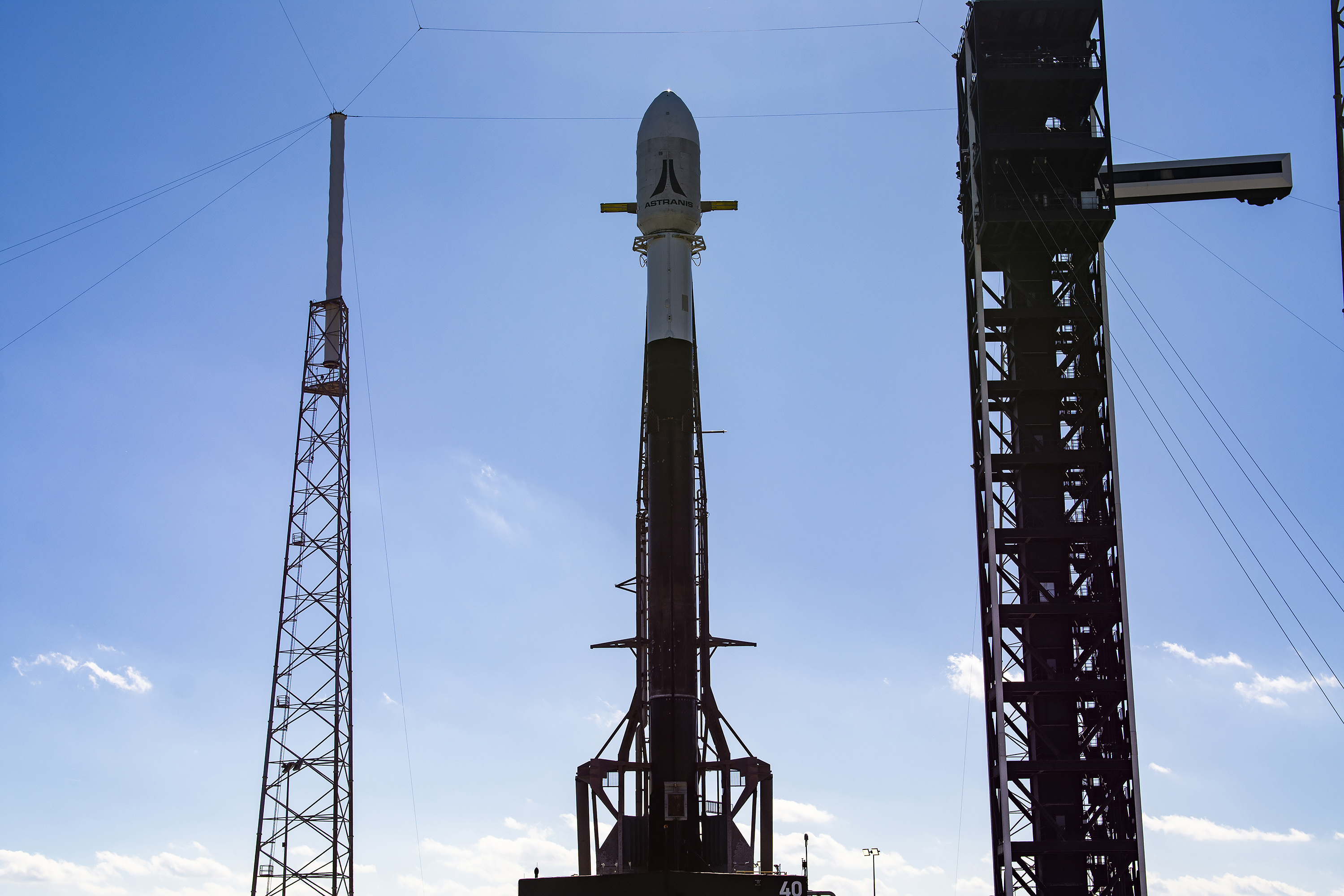
Four Astranis MicroGEO communications satellite to be inserted in a custom geostationary orbit, from where they conduct on-orbit maneuvers to reach their individual slots.
Quick facts
VehicleFalcon 9 Block 5
OrbitGeostationary Transfer Orbit
PadSpace Launch Complex 40
SiteCape Canaveral SFS, FL, USA
WindowSunday December 29 2024, 05:00:00 UTC→Sunday December 29 2024, 07:30:00 UTC
Vehicle
FamilyFalcon
Height70 m
Diameter3.7 m
Stages2
ReusableYes
LEO capacity22,800 kg
Track record606/607 successful
Landings593/598